TREMONT MAPS
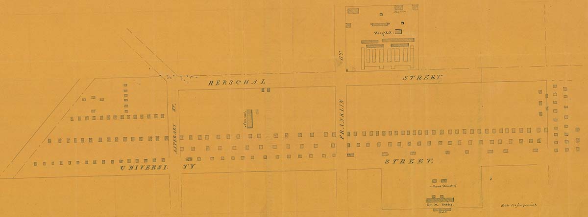
Photo: Hand-Drawn Map of Camp Cleveland, 1862
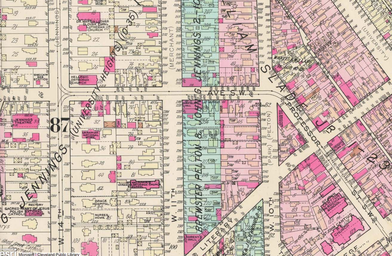
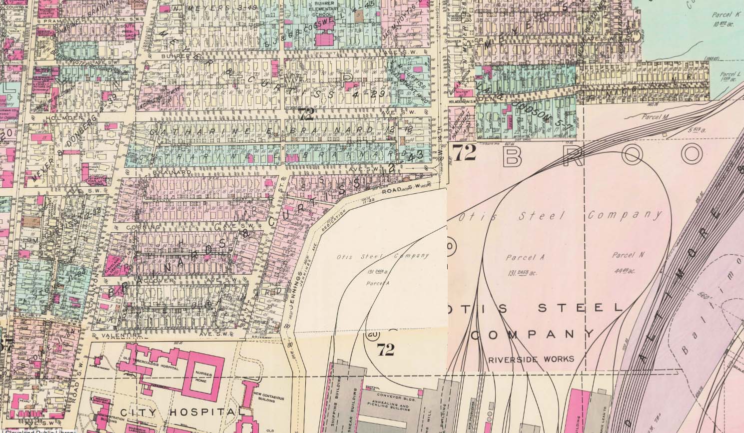
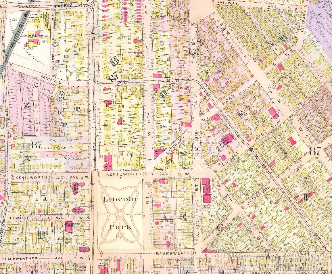
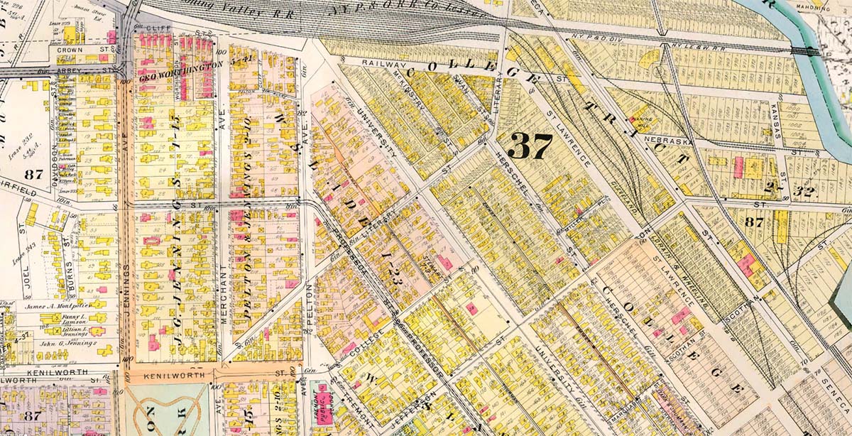
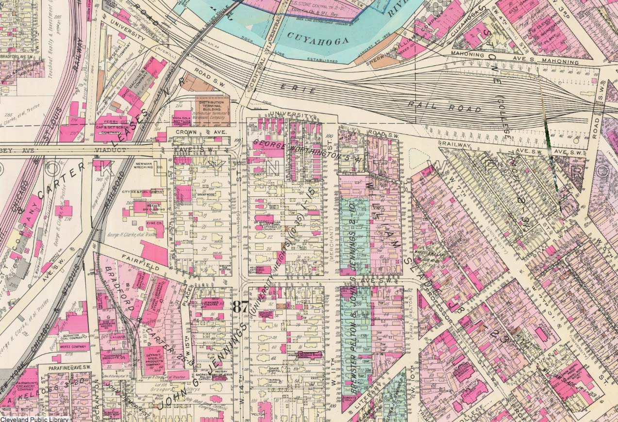
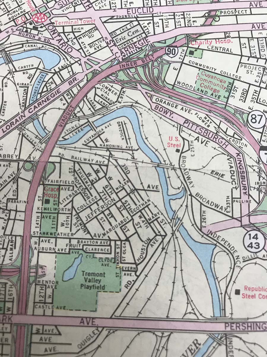
This collection of street maps was drawn and cropped from a historically invaluable website called Cleveland Historic Maps.
Click anywhere on a map image below to find out more about each area.
Lincoln Park and the Auburn and Lincoln Heights Neighborhoods, 1912chris1012020-04-15T14:47:47+00:00
Southeast Tremont and the Valleyview Homes Estates Housing Project, 1975chris1012020-04-26T19:34:24+00:00

